News
Chart Room review asks which date belongs to the map
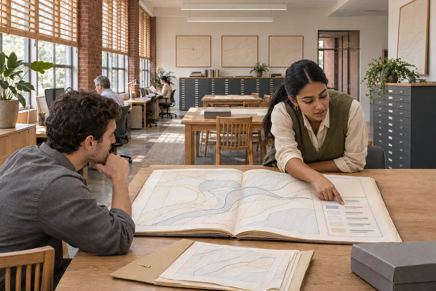
Students in Chart Room have been comparing maps that appear to describe the same fictional reach but draw on sources from different dates. The exercise begins with the layer register rather than the finished image. Before choosing a symbol or a colour, each group identifies the source date, coverage and purpose of the information it wants to place on the page.
2026-10-08 / Student Learning
Students in Chart Room have been comparing maps that appear to describe the same fictional reach but draw on sources from different dates. The exercise begins with the layer register rather than the finished image. Before choosing a symbol or a colour, each group identifies the source date, coverage and purpose of the information it wants to place on the page.
One classroom atlas combined an older path diagram with more recent observation points. The neat alignment suggested a single current view, even though the layers did not share one date. Students revised the legend to distinguish when the information was produced from when their own map was edited. A short coverage inset made the missing area visible as well.
Geospatial Program Lead Jonah Kim organized the review around a specific reading task: identify the oldest source and say whether the map covers the full teaching area. The task gives students something observable to compare between versions. It avoids asking only which design looks more professional, a question that can reward polish while overlooking an important source limitation.
The fictional diagrams use no real property boundaries or navigation coordinates. Students label them as teaching material and keep an original source copy beside the working version. The project does not establish a real shoreline position or forecast a physical change. Its learning value lies in showing how a map becomes an account through a sequence of recorded choices.
The same source-date question is useful beyond the geospatial program. Planning students compare the currency of documents, public-history students distinguish a record from a later interpretation, and communication students decide where the qualification belongs in a short explanation. A shared room can support those conversations without pretending that every discipline is doing the same kind of analysis.
Students preparing the next atlas proof should bring the register, a draft legend and one question about how a reader uses the page. Open study workstations follow Chart Room hours, while equipment loans have a separate desk schedule. The Field Notes case Shoreline in Four Layers gives a fuller account of one student’s revision and the limits of its fictional source pack.
Author and context.
Teaches spatial source comparison, map annotation and ways to communicate scale, dates and missing information.
Jonah Kim
Geospatial and Coastal Observation Program Lead
CR 03 · Chart Room
Mon/Thu 11:00–13:00 ET
Setting: Chart Room. This is an original fictional college news account.