Year 1
Maps and Spatial Records and Layers and Reference Systems develop the first outcome: read map scale, reference systems and source dates.
Spatial & Coastal Systems / BS
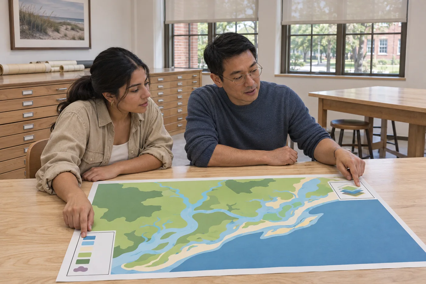
Build spatial accounts of coastal places with clear sources, consistent scales and an honest view of missing information.
Build spatial accounts of coastal places with clear sources, consistent scales and an honest view of missing information.
Maps and Spatial Records and Layers and Reference Systems develop the first outcome: read map scale, reference systems and source dates.
Coastal Observation Design and Mapping Change extend the work through specific tasks: A spatial observation plan and coverage diagram. A two-date comparison plate and uncertainty commentary.
Spatial Evidence Analysis leads into Atlas Pilot. The reviewed pilot supplies the evidence for a narrower final proposal.
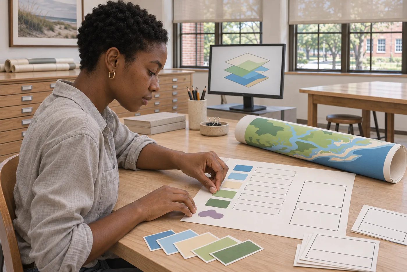
Senior Geospatial Proposal and Senior Coastal Atlas lead to a coastal observation atlas with documented layers, reproducible map choices and a clear uncertainty statement.
The approved example totals 120 unique semester credits. Each of the eight terms carries 15 credits. Major study, shared foundations, general education and named cross-program electives each have a defined place in this route.
15 semester credits
15 semester credits
15 semester credits
15 semester credits
15 semester credits
15 semester credits
15 semester credits
15 semester credits
A coastal observation atlas with documented layers, reproducible map choices and a clear uncertainty statement.
Read a student inquiryOne semester credit represents approximately 45 hours of combined instruction, supervised activity and independent work over a 15-week teaching term. Six-credit integrated courses normally combine about six contact hours and twelve independent hours weekly. Laboratory and field sessions follow the approved course timetable.
The sample plans name every elective. Seminar 141 courses are introductory and open across majors in Fall or Spring. A course counts only once toward the degree, and alternative electives require adviser review of prerequisites, availability and category. BA plans include one other BA introductory 101 course and seven distinct cross-program 141 seminars.
6 credits / Fall
Read scale, direction, reference descriptions and source dates in selected teaching maps. Students translate a simple observation into a mapped record while identifying what its positional precision can support.
Prerequisites: None. Corequisites: None.
Assessment: A map-reading portfolio and source-labelled observation map.
Learning place: Chart Room. Read the syllabus for the scheduled classroom, source or practical task.
3 credits / Fall, Spring
Develop a claim through short passages that distinguish observation, source material and interpretation. Drafts are revised by checking what each sentence asks a reader to accept.
Prerequisites: None. Corequisites: None.
Assessment: A sourced essay and a paragraph-level revision commentary.
Learning place: Lantern Library. Read the syllabus for the scheduled classroom, source or practical task.
3 credits / Fall, Spring
Use units, proportions, rates and simple models to make a comparison transparent. Students state input assumptions, check dimensions and explain how a numerical choice changes the account being offered.
Prerequisites: None. Corequisites: None.
Assessment: A checked calculation notebook with written interpretations.
Learning place: Lantern Library. Read the syllabus for the scheduled classroom, source or practical task.
3 credits / Fall, Spring
Practice separating what was noticed from the explanation added later. Short shore-based, indoor and documentary exercises share a record structure for time, setting, viewpoint and unanswered questions.
Prerequisites: None. Corequisites: None.
Assessment: A sequence of observation entries and a comparison of two accounts.
Learning place: Chart Room. Read the syllabus for the scheduled classroom, source or practical task.
6 credits / Spring
Combine a small set of teaching layers only after checking their reference descriptions, extents and dates. Students explain an alignment choice and retain a record of the source material.
Prerequisites: GEO 101. Corequisites: None.
Assessment: A checked layer stack and metadata register.
Learning place: Chart Room. Read the syllabus for the scheduled classroom, source or practical task.
3 credits / Fall, Spring
Compare how different maps represent the same fictional reach through scale, symbols and purpose. Students identify what a viewer can infer from a map and which claims require another source.
Prerequisites: None. Corequisites: None.
Assessment: An annotated comparison of three teaching maps.
Learning place: Chart Room. Read the syllabus for the scheduled classroom, source or practical task.
3 credits / Fall, Spring
Organize small teaching datasets, describe variation and distinguish a repeated measurement from an independent observation. Emphasis falls on appropriate summaries and the questions a sample cannot resolve.
Prerequisites: CORE 130. Corequisites: None.
Assessment: A descriptive data report and an account of sampling limits.
Learning place: Lantern Library. Read the syllabus for the scheduled classroom, source or practical task.
3 credits / Fall, Spring
Turn a set of small teaching records into a readable table with identifiers, units and explicit missing values. Revisions preserve the source record and explain changes rather than silently overwriting an inconvenient entry.
Prerequisites: None. Corequisites: None.
Assessment: A checked table, source register and correction log.
Learning place: Chart Room. Read the syllabus for the scheduled classroom, source or practical task.
6 credits / Fall
Plan spatial observations for a bounded question with explicit coverage and units. Students compare the information provided by fixed points, lines and areas before choosing a workable record structure.
Prerequisites: GEO 102, CORE 140. Corequisites: None.
Assessment: A spatial observation plan and coverage diagram.
Learning place: Chart Room. Read the syllabus for the scheduled classroom, source or practical task.
3 credits / Fall, Spring
Compare public-facing texts that address the same question with different purposes. Identify the evidence, assumptions and audience behind an argument before preparing a reasoned response.
Prerequisites: None. Corequisites: None.
Assessment: An annotated comparison and a discussion brief.
Learning place: Lantern Library. Read the syllabus for the scheduled classroom, source or practical task.
3 credits / Fall, Spring
Narrow a broad interest into a question answerable with available evidence. Compare a direct observation, a published source and a simulated teaching record before selecting the material for a limited inquiry.
Prerequisites: FND 101. Corequisites: None.
Assessment: A question proposal and annotated source selection.
Learning place: Chart Room. Read the syllabus for the scheduled classroom, source or practical task.
3 credits / Fall, Spring
Read selected accounts of coastal settlement, work and environmental change through the circumstances in which they were produced. Students practice separating a documented event from a later narrative about it.
Prerequisites: None. Corequisites: None.
Assessment: A chronological source dossier with a limitations note.
Learning place: Lantern Library. Read the syllabus for the scheduled classroom, source or practical task.
6 credits / Spring
Compare two dated spatial sources at a compatible scale and resolution. Students distinguish a mapped difference from a confirmed physical change and identify additional evidence needed for interpretation.
Prerequisites: GEO 201. Corequisites: None.
Assessment: A two-date comparison plate and uncertainty commentary.
Learning place: Chart Room. Read the syllabus for the scheduled classroom, source or practical task.
3 credits / Spring
Trace how spatial information changes as it moves from source to edited layer and final display. Students record transformations, dates and omissions so the map retains a meaningful source trail.
Prerequisites: GEO 141. Corequisites: None.
Assessment: A layer provenance register and handover package.
Learning place: Chart Room. Read the syllabus for the scheduled classroom, source or practical task.
3 credits / Fall, Spring
Plan a small shared inquiry by allocating roles, time, access arrangements and record responsibilities. Students test a handover and revise the schedule when an activity or source becomes unavailable.
Prerequisites: FND 102. Corequisites: None.
Assessment: A project agreement, schedule and reviewed handover record.
Learning place: Chart Room. Read the syllabus for the scheduled classroom, source or practical task.
3 credits / Fall, Spring
Examine how scientific questions, evidence and institutional responsibilities meet in public discussion. Cases distinguish an observation, a scientific interpretation and a decision that also involves values or resources.
Prerequisites: None. Corequisites: None.
Assessment: A case analysis identifying the roles of evidence and judgment.
Learning place: Lantern Library. Read the syllabus for the scheduled classroom, source or practical task.
6 credits / Fall
Investigate a pattern through a limited sequence of documented spatial operations. Alternative classifications are compared to reveal how method choices affect the account presented by the map.
Prerequisites: GEO 202, FND 201. Corequisites: None.
Assessment: An analysis notebook and classification comparison.
Learning place: Chart Room. Read the syllabus for the scheduled classroom, source or practical task.
3 credits / Fall, Spring
Explore consent, attribution, representation and responsibilities to people whose work or circumstances enter an inquiry. Classroom scenarios ask students to revise a plan when its evidence does not justify the proposed use.
Prerequisites: CORE 101. Corequisites: None.
Assessment: A research-context review and a revised information sheet.
Learning place: Lantern Library. Read the syllabus for the scheduled classroom, source or practical task.
3 credits / Fall, Spring
Compare different ways of valuing a coastal place through close reading and discussion. Students identify the assumptions of a position without treating a single concept as a complete answer to a practical problem.
Prerequisites: CORE 102. Corequisites: None.
Assessment: A comparative essay and a structured seminar response.
Learning place: Lantern Library. Read the syllabus for the scheduled classroom, source or practical task.
3 credits / Fall, Spring
Introduce accounts of marine organisms through images, descriptive records and accessible scientific texts. Students compare how different source formats support identification and explanation without replacing supervised practical courses.
Prerequisites: None. Corequisites: None.
Assessment: A contextual organism reading and image annotation set.
Learning place: Calder Science House. Read the syllabus for the scheduled classroom, source or practical task.
6 credits / Spring
Build an initial atlas spread that joins map, explanation and source record. Peer review tests whether a reader can understand coverage, date and missing information before the final atlas scope is fixed.
Prerequisites: GEO 301. Corequisites: None.
Assessment: A reviewed atlas pilot with a revision log.
Learning place: Chart Room. Read the syllabus for the scheduled classroom, source or practical task.
3 credits / Spring
Explore positional, temporal and classification uncertainty through controlled teaching examples. Students choose a display that makes an important limitation visible rather than hide it behind unnecessary precision.
Prerequisites: GEO 241. Corequisites: None.
Assessment: An uncertainty-aware map and design rationale.
Learning place: Chart Room. Read the syllabus for the scheduled classroom, source or practical task.
3 credits / Fall, Spring
Study how costs, time, work and access shape the use of a place. Small examples make the boundary between a budget assumption, a market observation and a broader social claim explicit.
Prerequisites: CORE 102. Corequisites: None.
Assessment: A place-based resource brief with a transparent assumption table.
Learning place: Lantern Library. Read the syllabus for the scheduled classroom, source or practical task.
3 credits / Fall, Spring
Read one estuarine setting through habitat descriptions, maps and historical accounts. Open across majors, this seminar asks what each form of evidence makes visible and what falls outside its view.
Prerequisites: None. Corequisites: None.
Assessment: A multi-source account of a simulated estuarine reach.
Learning place: Estuary Learning Lab. Read the syllabus for the scheduled classroom, source or practical task.
6 credits / Fall
Define the question, layers, output scale and intended reader for a final atlas. A proposal review checks source access, compatibility and the practical work needed to produce an accountable map set.
Prerequisites: GEO 302, GEO 341. Corequisites: None.
Assessment: An atlas proposal and source-compatibility table.
Learning place: Chart Room. Read the syllabus for the scheduled classroom, source or practical task.
3 credits / Fall, Spring
Read photographs, diagrams and displays as constructed accounts. Students compare cropping, caption, sequence and scale, then revise a visual explanation to show its source and intended meaning more clearly.
Prerequisites: CORE 101. Corequisites: None.
Assessment: An annotated visual comparison and an edited explanatory plate.
Learning place: Lantern Library. Read the syllabus for the scheduled classroom, source or practical task.
3 credits / Fall, Spring
Compare the roles of agencies, organizations and public forums through selected documentary cases. Students trace who can advise, implement or decide, rather than assume that a published opinion has formal authority.
Prerequisites: CORE 102. Corequisites: None.
Assessment: An institutional responsibility map supported by sources.
Learning place: Lantern Library. Read the syllabus for the scheduled classroom, source or practical task.
3 credits / Fall, Spring
Read water-related claims through sample descriptions, units and stated methods. This introductory seminar is open across majors and emphasizes interpretation of supplied records rather than unsupervised chemical procedures.
Prerequisites: None. Corequisites: None.
Assessment: An annotated water-evidence brief with a unit review.
Learning place: Calder Science House. Read the syllabus for the scheduled classroom, source or practical task.
6 credits / Spring
Complete a linked series of maps with consistent legends, dates and source descriptions. Students present the reasoning behind the atlas and identify uses that its accuracy or coverage does not support.
Prerequisites: GEO 401. Corequisites: None.
Assessment: A coastal observation atlas and methods dossier.
Learning place: Chart Room. Read the syllabus for the scheduled classroom, source or practical task.
3 credits / Spring
Review a complete map sequence for consistent scale, hierarchy, captions and cross-reference. Students edit the navigation of an atlas while checking that visual simplification has not erased an essential qualification.
Prerequisites: GEO 341. Corequisites: None.
Assessment: An edited atlas proof and documented review decisions.
Learning place: Chart Room. Read the syllabus for the scheduled classroom, source or practical task.
3 credits / Fall, Spring
Bring a substantial project into dialogue with readers outside its subject. Students edit definitions, evidence and limitations while retaining enough detail for a specialist to understand the underlying choices.
Prerequisites: CORE 101. Corequisites: None.
Assessment: A public-facing project essay and a documented peer review.
Learning place: Lantern Library. Read the syllabus for the scheduled classroom, source or practical task.
3 credits / Fall, Spring
Introduce public decision-making through a fictional waterfront case with documents and competing uses. Students identify whose responsibilities and perspectives appear, and what information is missing from the record.
Prerequisites: None. Corequisites: None.
Assessment: A contextual decision map and missing-information note.
Learning place: Chart Room. Read the syllabus for the scheduled classroom, source or practical task.
A completed secondary-school record, a short academic-interest statement and readiness to work with evidence. Prior study in mathematics and a laboratory science is recommended; missing preparation is discussed individually, not represented as an automatic rejection.
Course leaders discuss accessible arrangements before scheduled activities. Shore-based, laboratory, documentary or supplied-data tasks can address defined learning outcomes; independent boat participation is not a general admission condition.
GIS support; cartographic production; environmental information support; graduate study in geography or spatial analysis. These are possible directions, not guaranteed employment, certification or a professional license.
Geospatial and Coastal Observation Program Lead
CR 03 · Chart Room
Mon/Thu 11:00–13:00 ET
Annual course resource fee: $680. Personal book/supplies planning allowance: $1,500. Tuition, required fees and living costs are separate.