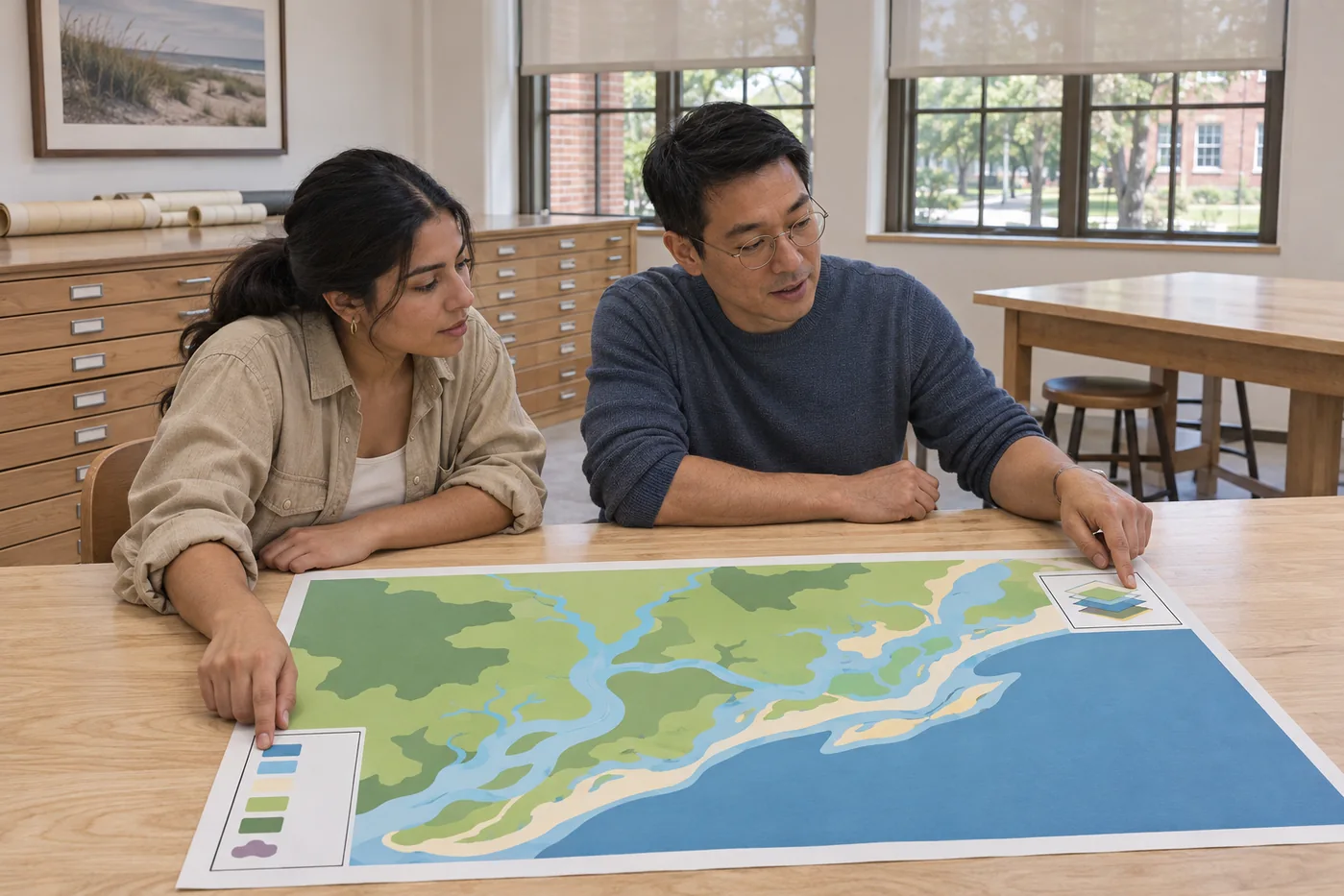
BS / Spatial & Coastal Systems
Geospatial & Coastal Observation
Build spatial accounts of coastal places with clear sources, consistent scales and an honest view of missing information.
120 credits / eight terms. Annual resource fee $680.
Study
Compare the questions and methods in Spatial & Coastal Systems.
Study how a coastal place is represented, compared and discussed through maps, spatial sources and planning questions.
Choose a program by the kind of evidence you want to work with and the question you want to make more precise. The programs share observation and source habits while retaining their own major outcomes, senior courses and assessment tasks.
2 results
No matching result. Try fewer filters or another word.
BS / Spatial & Coastal Systems
Build spatial accounts of coastal places with clear sources, consistent scales and an honest view of missing information.
120 credits / eight terms. Annual resource fee $680.
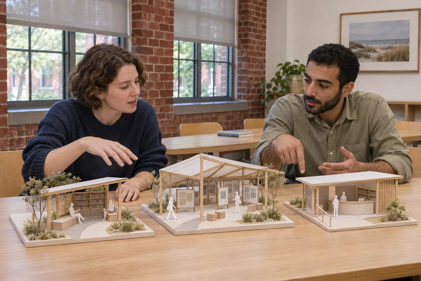
BA / Spatial & Coastal Systems
Compare how coastal places are used and governed through public documents, realistic options and clearly stated tradeoffs.
120 credits / eight terms. Annual resource fee $420.
A coastal observation atlas with documented layers, reproducible map choices and a clear uncertainty statement.
Read the associated inquiryA coastal planning options brief with source evidence, stakeholder perspectives, resource assumptions and an implementation boundary.
Read the associated inquiryEach program page publishes all eight 15-credit terms, 120 total credits and the course descriptions behind the route. Advisers review prior preparation and any proposed change; a directory choice does not approve a substitution.
Browse the complete course catalog